
Guest Blogger: Pat Ryan, graduate student
Field research can be described as exciting, challenging and demanding. The work, especially when undertaken in the Arctic, has proven to be all of these to me. Planning ahead is an important part of the task. Since we are so far removed from things like high speed internet connections and hardware stores, we try to be as prepared as possible with redundant equipment, any computer data file and programs we anticipate that we might need, a set of backup plans for foreseeable contingencies and a toolbox full of gizmos and gadgets which might come in handy to solve the inevitable complications that will arise. It seems to me that the most important skills for an Arctic researcher are perseverance, an inclination to be very creative and a good sense of humor. The scenery, however, can be breathtaking.
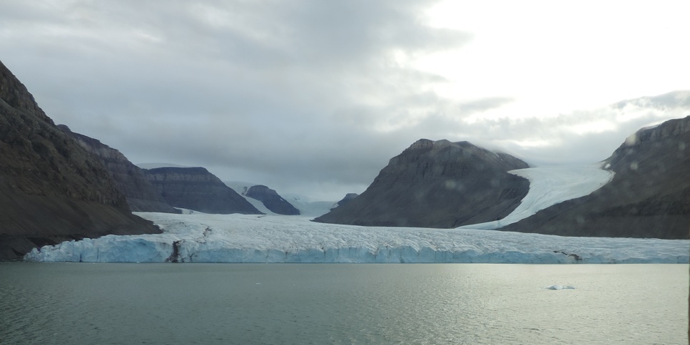
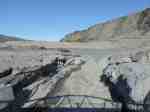
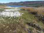
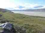
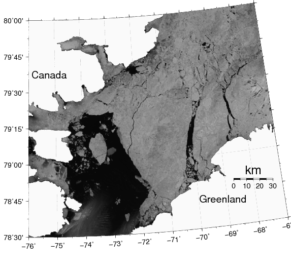
Belgrave Glacier
This summer, I’m the stay-at-home scientist. Whilst my advisor Andreas and my fellow graduate student Peter are working in Petermann Fjord, I’m home and am attempting to help as much as I can from here. This assistance has included installing a satellite communication system here and testing these systems that we’ll be using to transmit data about ocean conditions under a glacier and atmospheric conditions above it to us in Delaware for as long as we can.
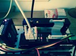
In accomplishing this project, the phrase, “it takes a village” comes to mind. Weeks ago, David Huntley of the Delaware Environmental Observing System (DEOS) at the University of Delaware configured the meteorologic station that will be the communications hub for all our data. He also trained us on installation. This hardware was packed up and transported to a ship, the Oden, in Sweden to be carried aboard for this summer’s research cruise to Petermann Fjord. Last week, on the Oden in the Arctic, Andreas configured the data gathering and transmission equipment, utilizing creative wiring techniques to allow regular transmission of data via satellite communications systems. Unfortunately there are no cell towers here either so satellite phones are being used to send the data. At home, I installed hardware to receive the data. Throughout this process, Kevin Brinson, Director of DEOS, used his experience to provide consultation and guidance on all of this, including acting as a liaison with high-tech equipment manufacturers. After several days of work to implement this near-real-time monitoring system to measure conditions and transmit those measurements within hours of their capture, we have a working system!
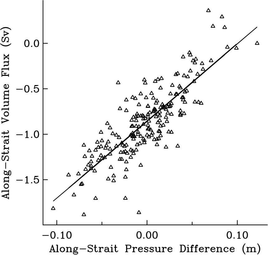
The exhilaration we all felt upon the first successful connection and seeing information like the ambient temperature and barometric pressure at Petermann Fjord (measured less than an hour before I got it) made all that work worthwhile. Upon installation of the monitoring station on the surface of the glacier and drilling through the ice to place ocean measurement instruments, we should have a system that can give us this and much more information for an extended deployment – perhaps several years – and return that data every day. The last time we installed this kind of ocean monitoring instruments, they measured for 3 years and required us to to return via ship to recover the instruments before we got any data.
How long these instruments will collect data is dependent on a number of factors. Conditions in the Arctic can be rather rough on electronics. Temperatures dip below -40 degrees (either Celsius or Fahrenheit) and polar bears are very inquisitive creatures – wires seem to attract their curiosity. The ice upon which our equipment will rest has been melting. Eventually, this glacier will calve and the location of our monitoring station is likely to be impacted by melting and/or calving (or breaking off) of the glacier. Our equipment is battery powered with solar charging supplements when there is sunlight. We hope that our batteries will be able to give us data throughout the long Arctic night that will last for months until sunrise (when solar charging begins again) in the spring.
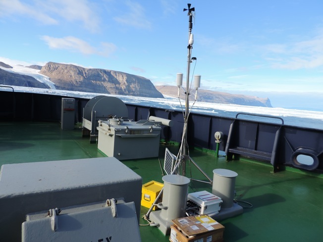
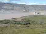
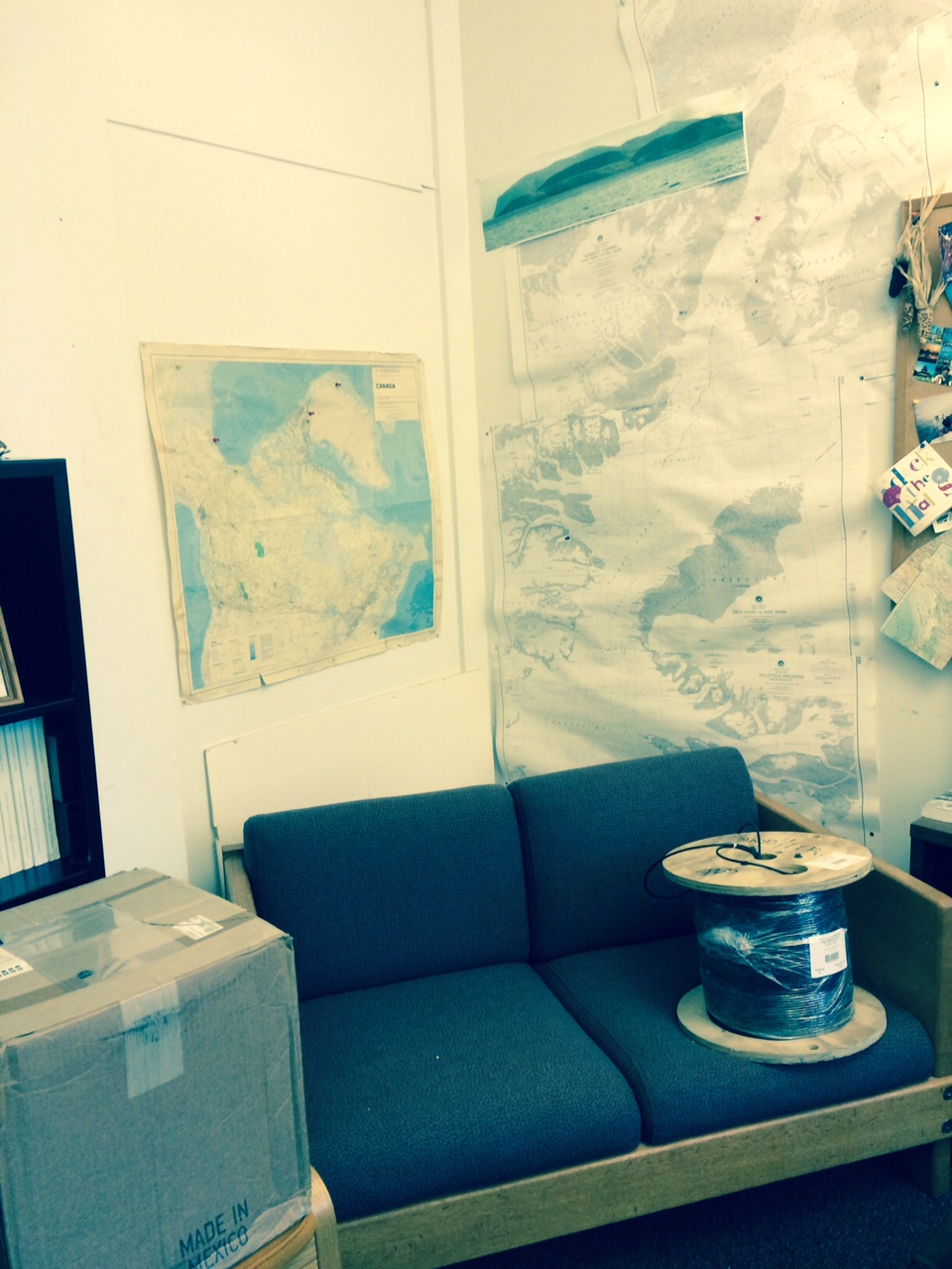
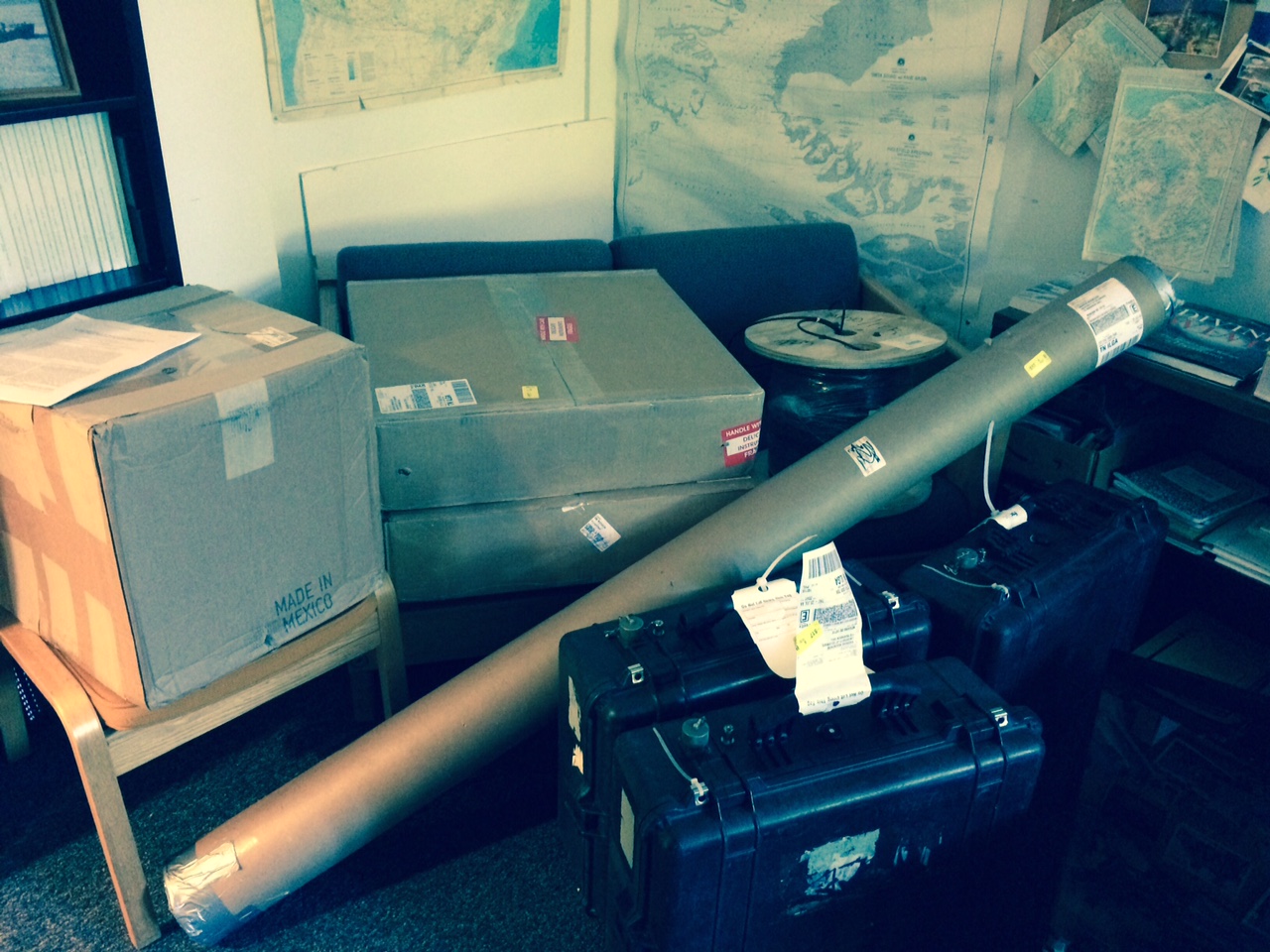
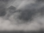
Meterologic station aboard the Oden.
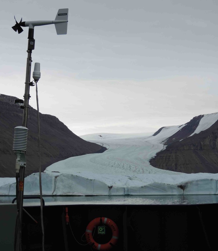
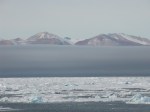
Meterologic station aboard the ship. The ice of Greenland in the background.
Tomorrow, Andreas and Peter will be venturing out to the ice in the first steps of installing all this hardware. We are very excited about the prospect of seeing the results of many months worth of planning and work. As the project continues Andreas and Peter will keep us up to date on their progress.


![Swedish icebreaker I/B Oden 22 July 2015 on its way to Thule. [Photo Credit: https://twitter.com/SjoV_isbrytning]](https://icyseas.org/wp-content/uploads/2015/07/ckhcffzxaaadzhh.jpg)


