
Looking ahead across Greenland’s ice sheet and glaciers and sea ice, I fell in love with Thule Air Force Base when I was stranded there last year. The people I met on base during these 2 days both military and civilian, both American and Danish, were incredible in how they shared their time, their houses, their huts, their containers, their beaches, their hills, and most of all their pride in working together on something special in a hostile, isolated, and beautiful place that is Thule and adjacent Dundas, Greenland. It is stunning to me, however, that this prime location next to a large airfield, next to a deep water port, next to tidewater glaciers, and next to the open, albeit ice-covered ocean has not been used much for field work in oceanography on ice-ocean-glacier interactions. This needs change.
-
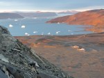
- Inner section of Westenholme Fjord to the north-east of Thule AFB as seen on the descent from Dundas Mountain during sunset on Sept.-2, 2015,
-
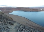
- Thule AFB at Pitufik as seen from atop Dundas Mountain Sept.-2, 2015. Note the tidal mud-flats at low tide next to the pier.
-
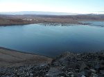
- View of North Mountain from atop Dundas Mountain. Thule AFB is in the background top right View is to the south-west.
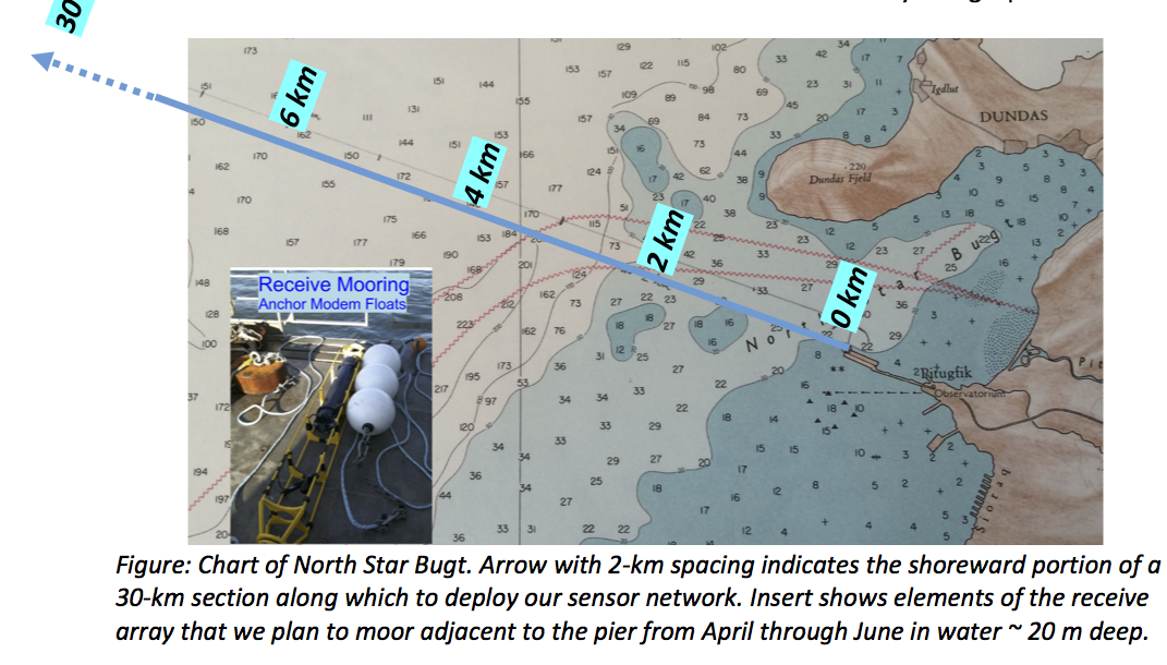
The two days last year in Thule allowed me to walk around and explore for the first and only time in the 12 years that I passed through Thule to board or leave icebreakers working far to the north in Nares Strait and at Petermann Gletscher. Thule is the northern-most deep water port in the world and I have written about some of its Cold War histories, its long, wood-decked pier, and its hikes. My interest in Thule and its pier emerged when the National Science Foundation funded an experimental engineering program on how to send e-mails underwater from one ocean sensor to another much like the way we all do it through the air with our smart cell phones. We want to test this system under the ice and there is plenty of ice around Thule for most of the year.

LandSat photo/map of Thule, Greenland Mar.-21, 2016. The airfield of Thule Air Force Base is seen near the bottom on the right. The island in ice-covered Westenholme Fjord is Saunders Island (bottom left) while the glacier top right is Chamberlin Gletscher.
While all this sounds like fun, how does one get stuff like oneself or sensors, or rope, or an entire container of gear to Thule. This turns out to be very tricky as there are no roads to get there, the port is ice-free only from June through October, and the ~600 people living here and another 600 living 60 miles over a mountain and several glaciers to the north do not exactly support a competitive market of air carriers. There is a reason that a gallon of milk should cost $80 were it not subsidized by the US Department of Defence. Actual shipping costs of such items are $10 per pound (452 grams) by air and a gallon of milk weights about 8 pounds. So, if I have 1000 pounds of gear, say, I’d have to pay $10,000 just get it to Thule. For context, I am about to ship 15,000 pounds of oceanographic gear to Seattle for an experiment in the Arctic Ocean later this fall. So, air shipment is not really practical for larger experiments, however, this is
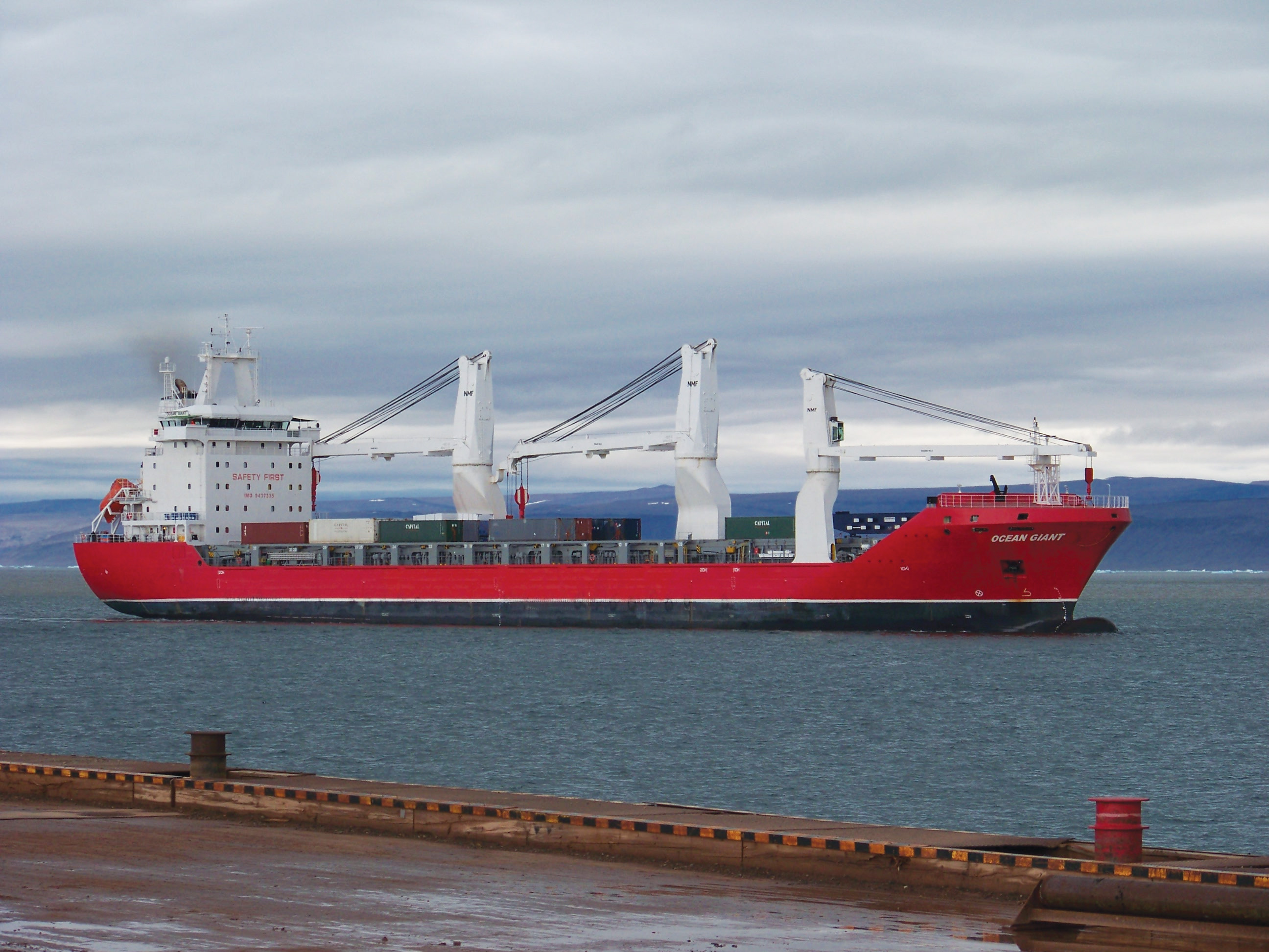
which is Operation “Pacer Goose” run by the US Navy SeaLift Command. Once every year in early July it provides the bulk of supplies and fuel to remote Thule Air Force Base. Think container-sized stuff. It is also the reason, that my experiment in the coastal waters of Wolstenholme Fjord should not be in the way of this annual event that uses the pier. Here is the M/V Ocean Giant as seen from the pier at Thule:
My only problem now is that to use this container ship, the earliest possible date to use the container I may want to ship is in the fall of 2017. So, do I want to do oceanography while walking and driving on water frozen solid by sea ice in March and April … or is there a way to deploy my oceanographic sensors via a small boat in the open waters in the fall? New ideas and questions to ponder. This, however, is always fun, too many ideas, each new problem is also an opportunity to do things differently, perhaps. And a good, solid, and comprehensive oceanographic study of the waters off Thule is, I feel, overdue. [I also need to talk to my Danish friends and colleagues about this, more ideas yet.]


hallo andreas, schöner artikel.
gute logistik ist die halbe miete.
ahoi und gutes gelingen alle zeit
burkhard
burkhard münchow http://www.mosler-muenchow.de
>
Pingback: Polar Bears and Guns and Politics | Icy Seas