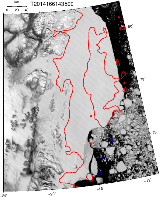
Image of study area on 15 June 2014 with locations (blue symbols) where we deployed moorings a few days before this satellite image was taken by MODIS Terra. The 100-m isobath is shown in red.
Comment
Name
Email
Website
Turn on JavaScript to leave a comment.
Δ
This site uses Akismet to reduce spam. Learn how your comment data is processed.
Have a WordPress.com account? Log in now.